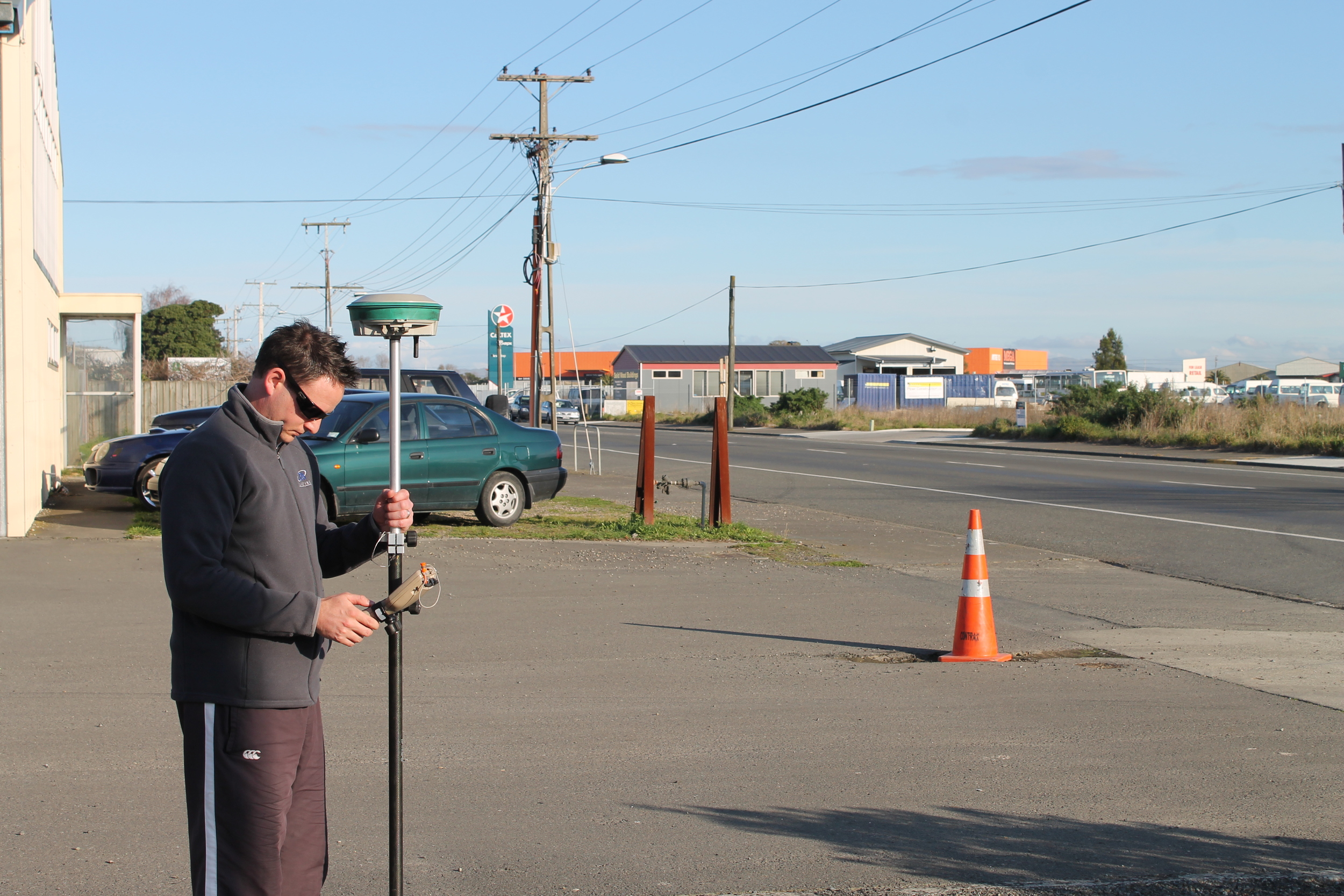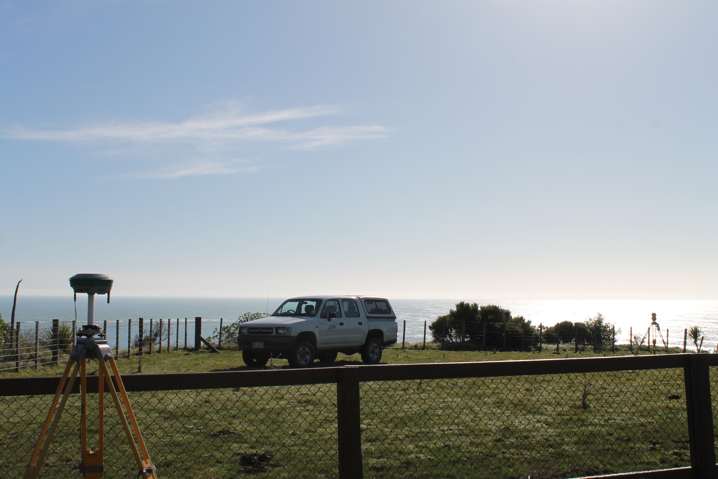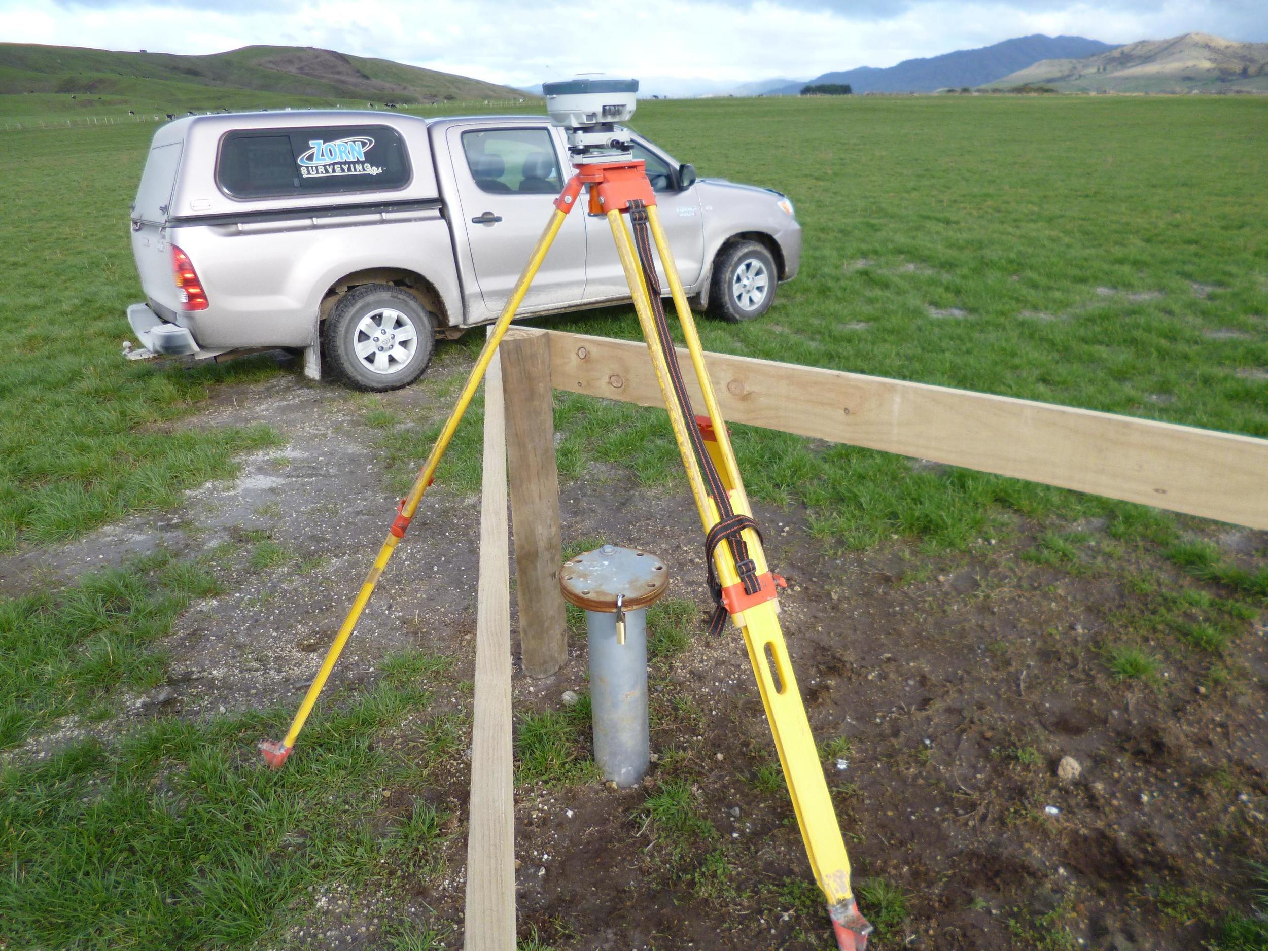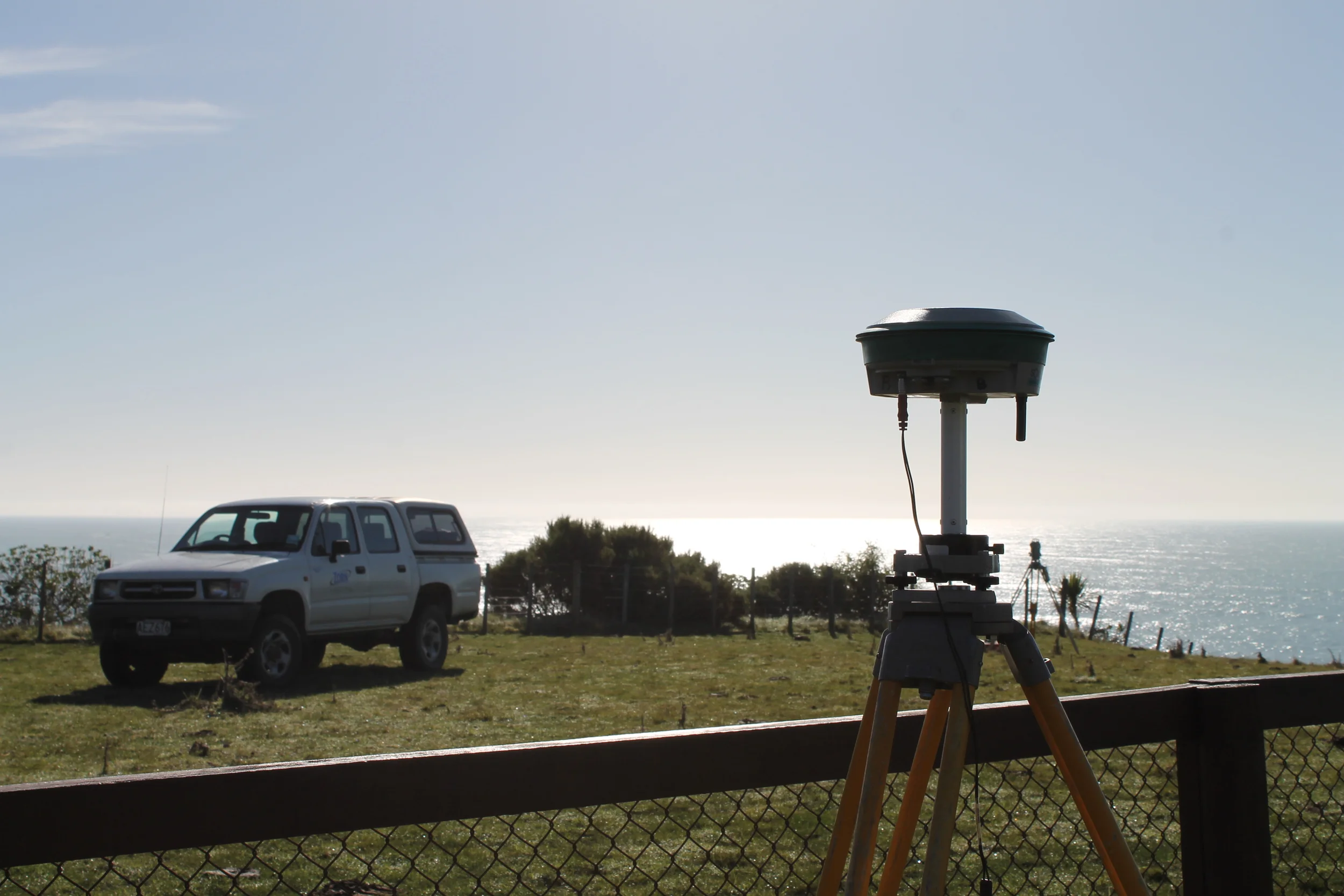
We can utilise our GPS to quickly and accurately capture any service infrastructure or utility asset. We can also supply electronic, paper plans or a full coordinate listing file of all the data captured in any format and coordinate system you require.